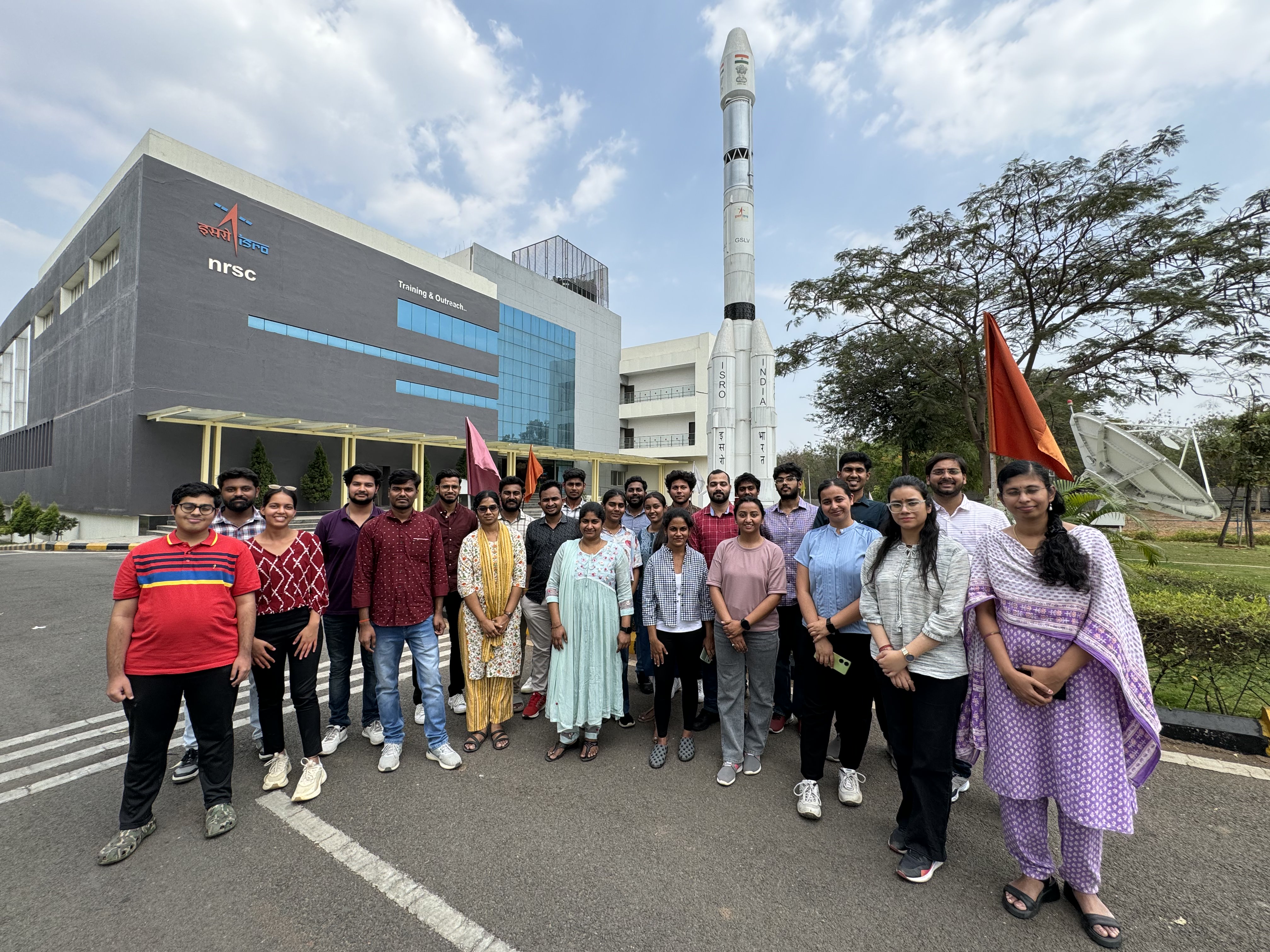
The IAStructE – IIIT Hyderabad student chapter of the Earthquake Engineering Research Centre organized an educational visitto the NRSC – National Remote Sensing Centre, a division of ISRO, Hyderabad on 28th March 2024. This excursion was joined by the PG students, doctoral students, summer interns, staff and a faculty.
The visit started off with a first presentation by Dr. Srinivas Reddy(Senior Scientist), overviewing the history of NRSC, the different ISRO units in India, satellites launched by ISRO such as the SLV3, ASLV, PSLV XL, etc., and their satellite orbits. Another aspect of the presentation focused on the preparation and launch of satellites using rockets. This included detailed explanations on how satellites and rockets are readied for launch, the various stages involved in a satellite launch, and the types of fuel (e.g., Liquid Hydrogen, Dimethyl Hydrazine, etc.)used during different phases of the launch process. For better understanding, a video demonstration was incorporated, showcasing the entire process from preparation to launch. Dr. Reddy also emphasized on additional concepts related to remote sensing, including the distinctions between active and passive sensors, as well as the operational range for satellite data collection. The presentation concluded by throwing light on geospatial applications of remote sensing in the fields of agriculture, water resources, forestry and ecology, military and defence needs, disaster management support, etc., showcasing the broad spectrum of benefits derived from remote sensing in various fields.
The second presentation conducted by Dr. Priyom Roy (Scientist) from Mineral Exploration and Geohazards Division of NRSC, focused on space data and geospatial models for landslides and earthquakes. Dr. Roy discussed different case studies of the fatal landslidesin the past, which transitioned into various concepts such as landslide inventory mapping using satellites, susceptibility mapping using machine learning (ML) to understand landslide prone regions, landslide warning systems and landslide predection using InSAR technique. Dr. Roy also highlighted the studies on earthquake related concepts such as strain analysis, CORS Network to measure plate movements for calculating earthquake strains, India on geohazards, etc., in depth. Further, he explained the seismic hazard zoning, mapping deformation, and an overview of the NISAR (NASA-ISRO Synthetic Aperture Radar) mission. In both the presentations, there was abrainstorming question and answer session between the speakers and the students.
The students also got the opportunity to explore the NRSC exhibition and showcase of the models depicting rockets, satellites, deep space antennas (data receivers), polar orbits, etc. In addition, there were a wide variety of posters and photographs on display outlining various geographical landmarks, aftermath of natural calamities, and mosaics (aerial photographs). Overall, it was an interactive and enriching learning experience for all.
Visitors Count